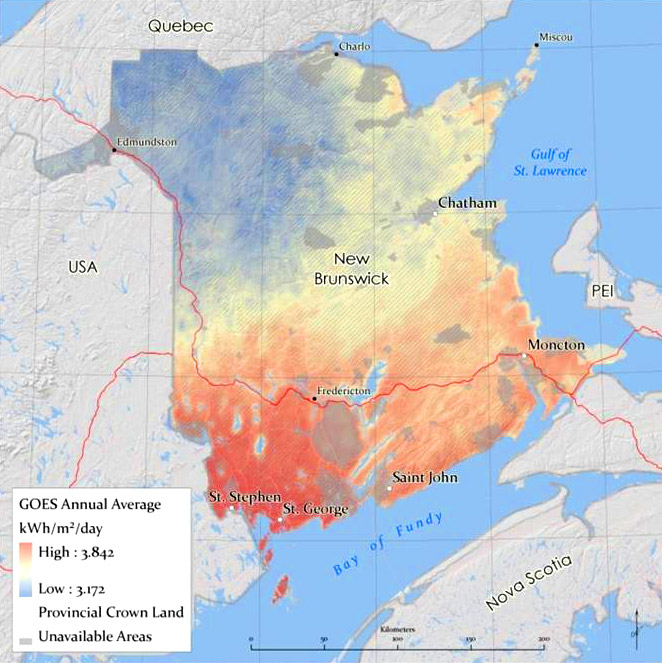
High resolution solar resource maps of New Brunswick were developed to choose the best areas for locating a pilot utility-scale PV plant and testing facility. Green Power Labs’ solar resource and GIS expertise were utilized to develop a comprehensive data set of the solar resource from satellite sources and ground-based weather stations. The map set included monthly and annual average of global horizontal, direct normal and diffuse irradiation maps for New Brunswick with a resolution of 1 sq. km. Five 50 x 50 km areas of interest were presented in detail to quantify and describe significant variations in the solar resource potential related to topographic and coastal effects, and to assist in identifying potential project sites.
![]()
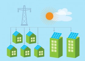
For decision-makers for energy applications, Green Power Labs is a software-as-a-service provider with the predictive energy analytics expertise to enable superior control in managing smart energy generation and consumption.
Our scientific depth and practical know-how is realized in automated predictive analytics solutions for smart energy management.

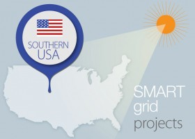
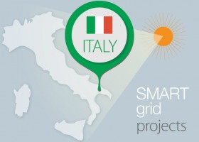
Green Power Labs represents Canada on the International Energy Agency Task Force 46 Solar Resource Assessment and Forecasting and Task Force 51 Solar Energy in Urban Planning.
We are actively involved in industry groups including the Utility Variable-Generation Integration Group, Canadian Solar Industries Association and have presented at industry related conferences in Canada, US, Europe and Asia.
![]()
Is your rooftop solar friendly?
Check here