This project utilised advanced high resolution solar resource data to accurately assess and analyse:
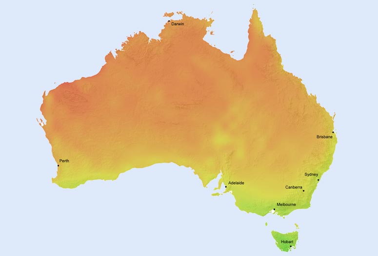
The report specifically addressed the spatial variations and impact of local climatology on the hourly solar radiation incident on all areas of the NEM over an extended 10 year period. The resulting datasets enabled evaluation of the magnitude and significance of distributed solar energy generation on the NEM and the modelling of scenarios. Compiled all grid connected solar installation data across the NEM and spatially categorised it in accordance with localised long term solar and climatology data. Advanced, high (spatial and temporal) resolution data was extracted from satellite data covering the entire NEM network for a 10 year period. Further analysis was undertaken to determine the hourly temporal impacts that distributed PV power generation has, within localised zones on the NEM, and the impact that all these variations have on maintaining the NEM in balance due to the increasing proportion of intermittent solar power generation within the mix of centralised and distributed power generation on the NEM.
![]()
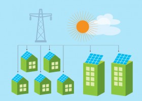
For decision-makers for energy applications, Green Power Labs is a software-as-a-service provider with the predictive energy analytics expertise to enable superior control in managing smart energy generation and consumption.
Our scientific depth and practical know-how is realized in automated predictive analytics solutions for smart energy management.

Green Power Labs represents Canada on the International Energy Agency Task Force 46 Solar Resource Assessment and Forecasting and Task Force 51 Solar Energy in Urban Planning.
We are actively involved in industry groups including the Utility Variable-Generation Integration Group, Canadian Solar Industries Association and have presented at industry related conferences in Canada, US, Europe and Asia.
![]()
Is your rooftop solar friendly?
Check here